For backcountry enthusiasts
Large-scale, highly detailed and functional topographic maps for canoe tripping, backcountry camping, hiking, and more. Printed on high-quality FSC tear-resistant, waterproof, grease-resistant paper, and writable with a regular pencil. All maps feature campsites, portages, hiking trails, points of interest, detailed contour lines, buildings, waterfalls, rapids, dams, and much more.
Our maps
-
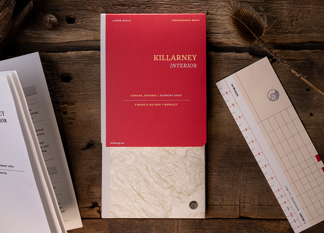
Killarney Provincial Park
![]()
- Regular price
- $22.00 CAD
- Sale price
- $22.00 CAD
- Regular price
-
- Unit price
- per
Sold out -
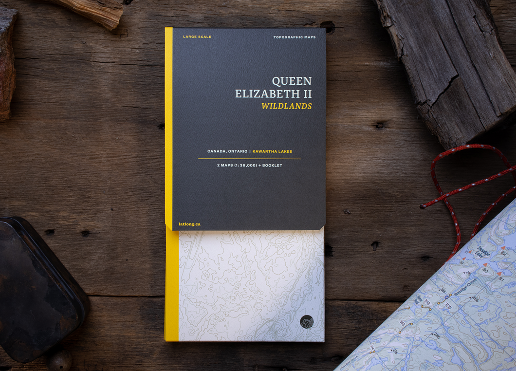
Queen Elizabeth II Wildlands
![]()
- Regular price
- $18.00 CAD
- Sale price
- $18.00 CAD
- Regular price
-
- Unit price
- per
Sold out -
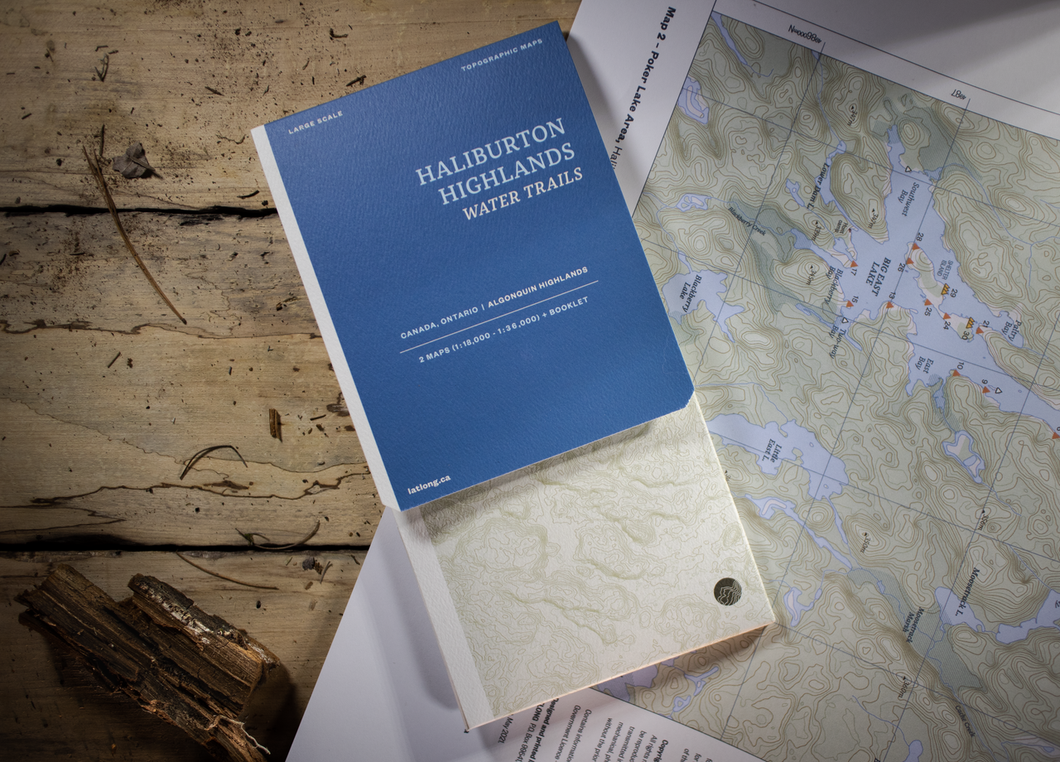
Haliburton Highlands Water Trails
![]()
- Regular price
- $18.00 CAD
- Sale price
- $18.00 CAD
- Regular price
-
- Unit price
- per
Sold out -
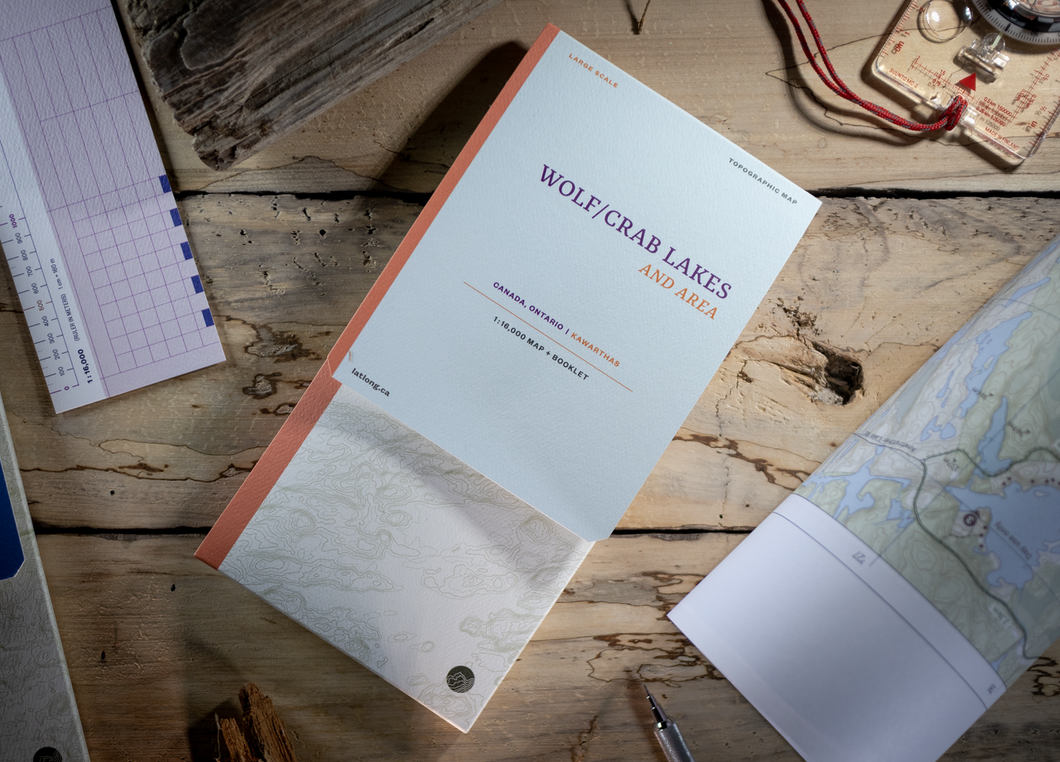
Wolf/Crab lakes and area
![]()
- Regular price
- $15.00 CAD
- Sale price
- $15.00 CAD
- Regular price
-
$0.00 CAD - Unit price
- per
Sold out


Features

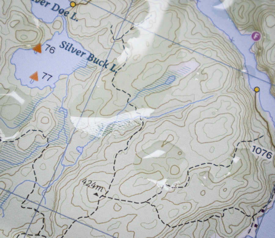
Tear-resistant, waterproof and grease-resistant
The maps are printed using pigment-based inks that withstand the rugged elements of water and UV exposure. Printed on high-quality FSC tear-resistant, waterproof and grease-resistant paper.

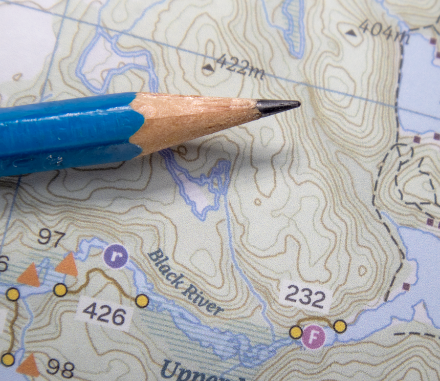
Feels like paper, writable with a regular pencil
LatLong maps are surprisingly tough, they feel and look like paper and can be written on with any pen or pencil. There isn't a cooler looking thing than a veteran tripper's annotated map.

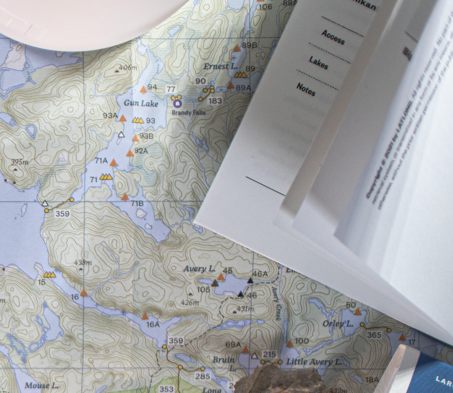
Printed on one side, with map notes in a booklet
Maps are printed on one side for easy handling, with map notes and canoe routes provided in a separate booklet. Enclosed in an attractive and tidy folder, a map ruler at scale is also provided for easy distance measurements.


Conveniently packaged
LatLong maps are printed on one side for easy handling, with map notes and canoe routes provided in a separate booklet. Enclosed in an attractive and tidy folder, a map ruler at scale is also provided for easy distance measurements.